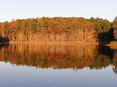
We stayed in a beautiful anchorage in Bay Springs Lake called the Five Fingers. The last several nights have been very cool (in the low 40’s and upper 30’s) and we were a bit worried about how cold it might get inside the boat. However, the day was sunny and we took the front shade off the windows and let the sun heat up the boats interior. We got the inside temp up to 78 degrees before the sun went down. We also used the oven for cooking dinner – as a result the boat stayed plenty warm all night.
 |
| meeting a barge in the Divide Cut - there's not much room to pass - imagine two barges passing each other |
 |
| in the early portion of the Divide Cut - the banks here are quite short |
 |
| further on along the Divide Cut the banks are beginning to get a bit higher |
 |
| further still, the banks are getting quite high |
 |
| and further along the Divide Cut, the banks are very high now |
 |
| This point is at the divide. The point were the most land was excavated to build the Tenn-Tom. |
 |
| Further on down the Divide Cut another stream enters the waterway. It takes eleven barriers to et from teh top of the bank down to the waterway. |
 |
| This monument marks the place where the city of Holcut was originally located. Holcut was the only town that had to be moved for the building of the Tenn-Tom. |
 |
| another picture off the back of Boreas at anchor |


No comments:
Post a Comment